Riassunto veloce
- Kvaløya si traduce come Isola delle Balene, e il mare che la circonda guadagna il nome ogni inverno.[8]
- Orche e megattere si radunano nei fiordi a nord di Tromsø in inverno per nutrirsi di arenti.[8]
- Il Tour di Whale Watching da Tromsø in Barca Ibrida-Elettrica dura 9 ore ed è condotto da una guida dal vivo che parla inglese.[9]
- Prenati da 209 USD, con cancellazione gratuita fino a 24 ore prima e prenoti ora, paga dopo.[9]
- Il tour è accessibile in sedia a rotelle, quindi è adatto a chi desidera una giornata stabile e confortevole sull'acqua.[9]
- La scelta migliore Ibrido-Elettrico da 209 USD Valutazione4,48 su 6.644 recensioni[9]Durata9 ore[9]Per chiOsservazione stabile e crociera panoramica nei fiordi Verifica disponibilità
- Osservazione delle balene in catamarano da 209 USD Valutazione4,23 su 250 recensioni[10]Durata6 ore[10]Per chiUna giornata in catamarano più breve da Tromsø Vedi questo tour
- Safari in RIB per l'osservazione delle balene da 257 USD Valutazione4,95 su 113 recensioni[11]Durata4 - 12 ore[11]Per chiAvventura in piccolo gruppo su un RIB Vedi questo tour
Le luci del nord possono essere visibili nella regione di Tromsø da fine agosto a inizio aprile, quando il cielo è buio e sufficientemente sereno.
Una giornata di whale watching che onora il nome di Kvaløya
Note utili
- Abbigliamento invernale: la temperatura media invernale a Tromsø è di circa −4°C.[12]
- Preni in anticipo per le date invernali, quando le balene si nutrono nei fiordi.[8]
- Lasci 9 ore per il tour di osservazione delle balene con barca ibrida-ed elettrica.[9]
- Goditi la cancellazione gratuita fino a 24 ore prima se i suoi piani cambiano.[9]
Il giorno stesso
- Il tragitto dall'aeroporto di Tromsø al centro città richiede circa 10-20 minuti.[13]
- Una guida dal vivo che parla inglese spiega le balene e il paesaggio.[9]
- La barca mantiene una distanza di sicurezza dalle imbarcazioni da pesca e dagli attrezzi fissi.[14]
- In inverno il sole potrebbe non apparire durante la notte polare, quindi porti con sé luci e vestiti a strati.[15]
Kvaløya: significato del nome
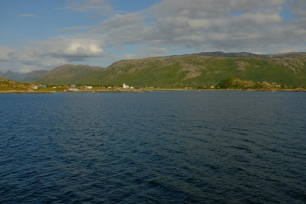
Il significato del nome Kvaløya è semplice e memorabile: Isola delle Balene. La parola norvegese kval è il vecchio nome per balena, e øy significa isola. Guidando verso ovest da Tromsø, attraversa il ponte che porta a Kvaløya, un'isola grande di montagne, rami di fiordi e villaggi di pescatori sparsi. Dal centro città, l'isola sembra vicina dall'altra parte dello stretto, e i suoi picchi si innalzano rapidamente sopra l'acqua. La costa occidentale si affaccia sul mare aperto, mentre profondi rami di fiordo si addentrano nell'entroterra e creano ripari dove le barche attendono il maltempo. Questa combinazione di costa aperta e acque protette è esattamente ciò che rende la zona ideale per la fauna selvatica.
Il nome ha senso. Ogni inverno, orche e balene megattere si radunano nei fiordi a nord di Tromsø, dove si nutrono di aringhe.[8] Le stesse popolazioni di aringhe migrano verso nord-est a settembre/ottobre verso aree di svernamento lungo la costa e nei fiordi del nord della Norvegia.[16] Per i viaggiatori, Kvaløya è la porta d'accesso a quel ricco mare artico. Si può osservare le stesse acque dalla riva, ma una barca la porta dove si radunano le balene. Le calette, i promontori e i pendii innevati dell'isola le danno un senso di quanto questa costa sia selvaggia in inverno.
Perché l'inverno è la stagione delle balene
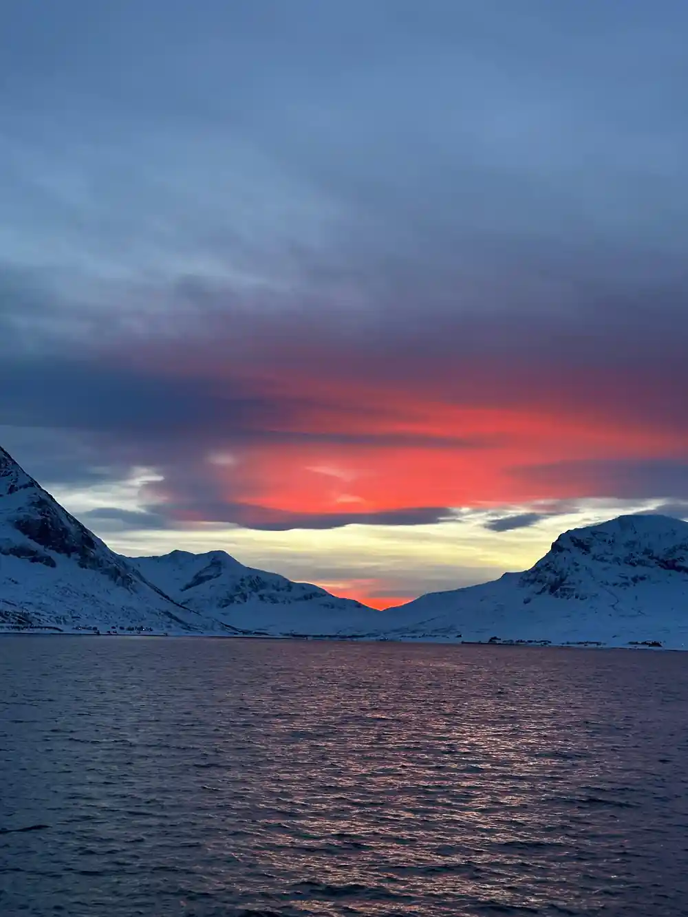
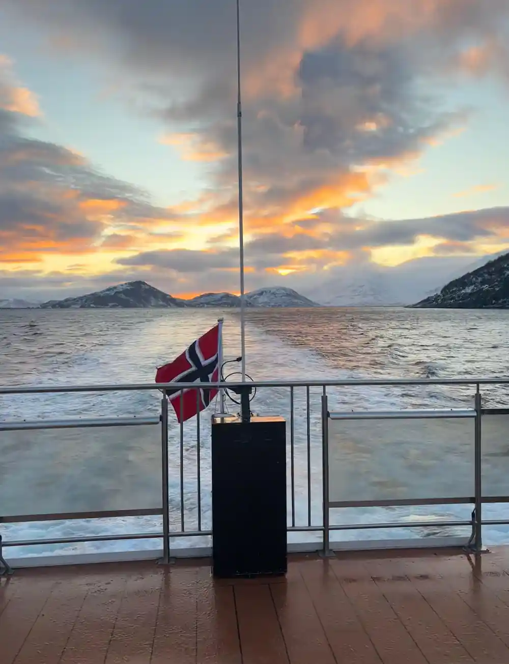
L'osservazione delle balene vicino a Tromsø è un'avventura da vivere nella stagione fredda. Le balene arrivano quando le aringhe si insediano nei fiordi settentrionali, e la breve luce del giorno dell'inverno artico diventa lo sfondo di incontri memorabili con la fauna selvatica. I giorni sono corti e il tempo può cambiare rapidamente, ma questo fa parte del fascino. C'è una particolarissima quiete sulla costa in inverno, quando la neve ammorbidisce le montagne e il mare assume una lucentezza grigia e metallica.
La notte polare a Tromsø dura approssimativamente dal 27 novembre al 15 gennaio.[15] Ciò significa che la stagione delle balene si sovrappone a cieli di profonda twilight e, se le condizioni lo permettono, alla possibilità di vedere le aurore boreali prima o dopo l'escursione in barca. Le aurore boreali possono essere visibili nella regione di Tromsø da fine agosto a inizio aprile, quando il cielo è buio e sufficientemente sereno.[17] Ai margini della notte polare c'è più luce per esplorare, e anche a metà inverno le ore attorno a mezzogiorno regalano una luce più morbida e prolungata.
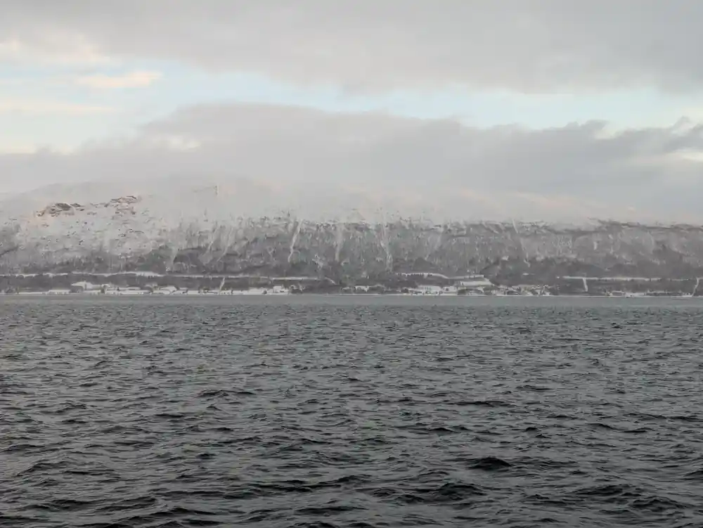
La coda di una balena megattera si erge accanto a montagne artiche innevate.
Il tour di osservazione delle balene con barca ibrida-ed elettrica
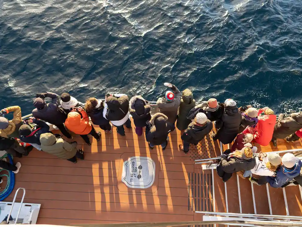
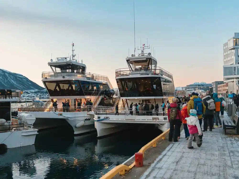
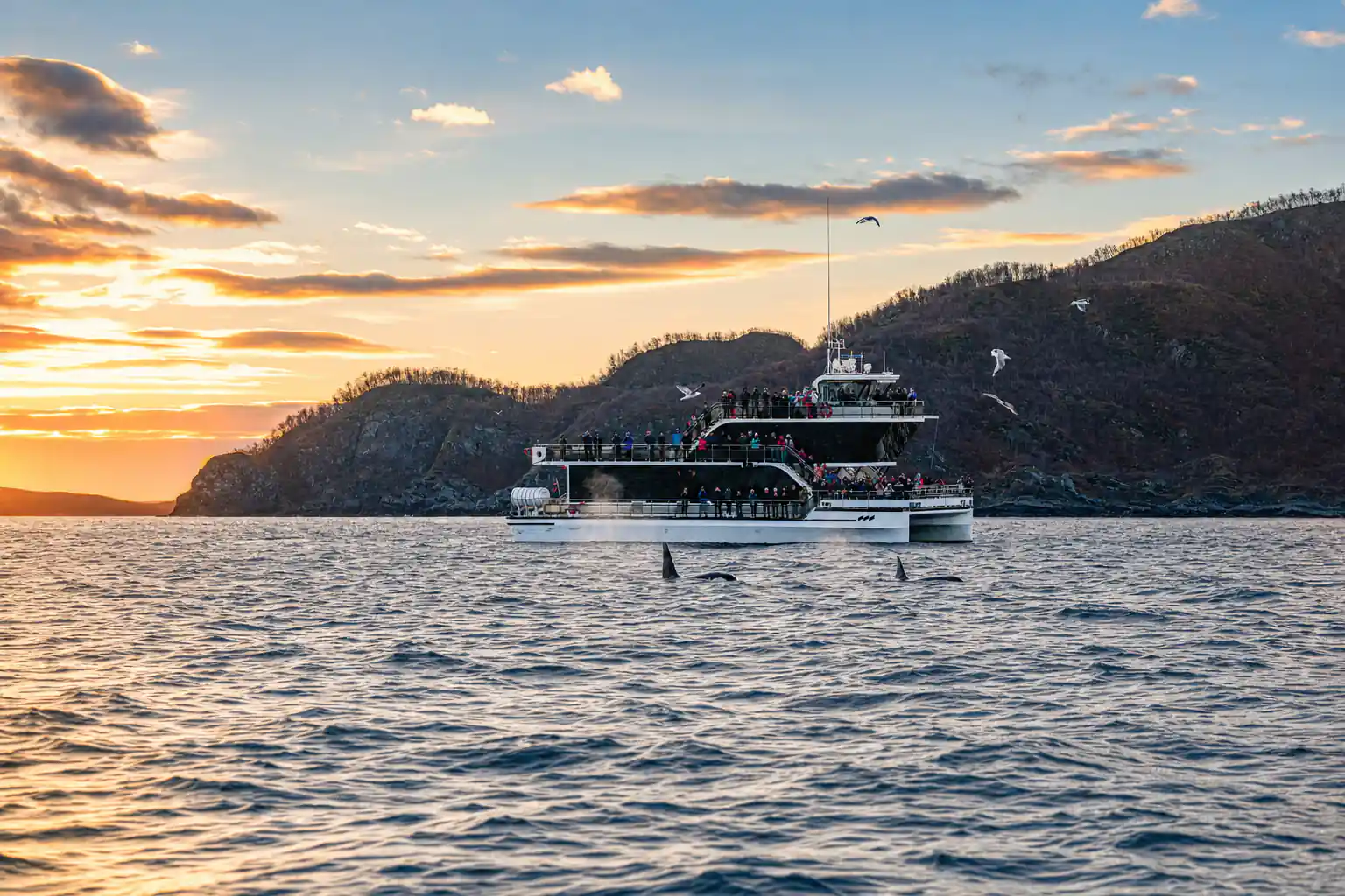
Il tour prenotato dal presente sito è il Tromsø Whale Watching Tour by Hybrid-Electric Boat.[9] Il costo parte da 209 USD e dura 9 ore, con una guida dal vivo che parla inglese a bordo.[9] La barca è progettata come una piattaforma di osservazione stabile, e il tour è accessibile ai sedie a rotelle.[9] L'imbarco da Tromsø è semplice, e l'equipaggio la aiuta a sistemarsi prima che la barca si muova verso lo stretto. A bordo ci sono posti a sedere al coperto dove può riscaldarsi tra le sessioni sul ponte, e aree aperte che le offrono una chiara vista sull'acqua. Dato che la barca è ibrida-ed elettrica, si muove silenziosamente, il che è adatto sia all'osservazione della fauna selvatica sia ai passeggeri che preferiscono un viaggio tranquillo.
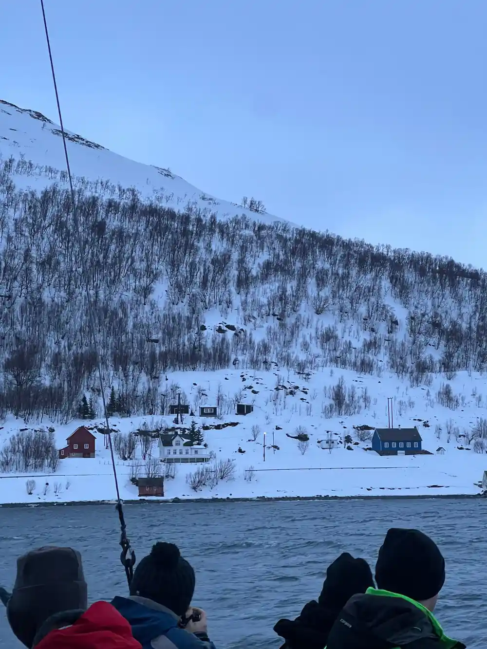
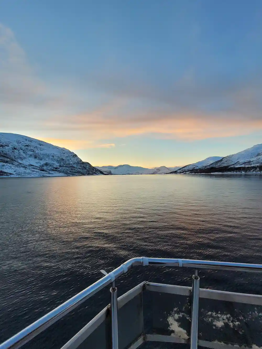
Il percorso la porta da Tromsø verso le Lyngen Alps, passando il faro di Lyngstuva, attraverso Kagsundet e nell'area di Skjervøy prima di ritornare passando la Cattedrale Artica.[9] È una giornata lunga, ma anche panoramica: montagne innevate, fiordi aperti e acque costiere tranquille. Tenga la macchina fotografica a portata di mano anche prima che appaiano le balene; la luce sulle montagne può essere straordinaria. La guida tiene d'occhio e indica i punti di riferimento, dando al viaggio un senso di luogo oltre che di scopo.
Le balene che potrebbe vedere
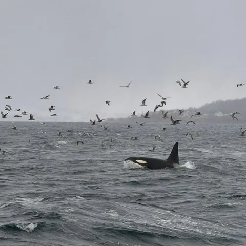
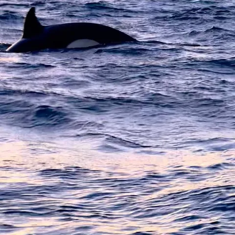
Le orche e le balene megattere sono le protagoniste. Durante l'inverno, orche e balene megattere si radunano nella zona per nutrirsi di aringhe.[8] Non sono animali piccoli. Le balene megattere sono lunghe 15-17 metri, con le femmine 1-1,5 metri più lunghe dei maschi.[18] Le orche maschi possono essere lunghi 6-9 metri e pesare circa 6 tonnellate, mentre le femmine possono essere lunghe 5-7 metri e pesare circa 4 tonnellate.[19] Guardare una balena esalare attraverso la sua soffiante o sollevare la coda prima di un tuffo è un momento che ricorderà.
Le guide la aiutano a individuare i segni di attività di alimentazione e spiegano cosa stanno facendo le balene. Le regole norvegesi richiedono che le barche per l'osservazione delle balene mantengano almeno 0,2 miglia nautiche, ovvero 370 metri, di distanza dalle imbarcazioni da pesca e dagli attrezzi fissi.[14] Gli operatori responsabili lasciano spazio anche alle balene. Ogni avvistamento è diverso, e le balene sono libere di muoversi dove vogliono, quindi parte della gioia è semplicemente essere lì fuori quando qualcosa emerge accanto alla barca.
from US$209
Il Tromsø Whale Watching Tour by Hybrid-Electric Boat dura 9 ore ed è accessibile ai sedie a rotelle.[9]
Come pianificare una giornata dedicata alle balene da Tromsø
Inizi decidendo quanto tempo vuole passare sull'acqua. Il tour con barca ibrida-ed elettrica dura 9 ore, il che è adatto ai viaggiatori che godono di una giornata intera di paesaggi fiordici e osservazione della fauna selvatica.[9] Un safari in RIB più veloce può durare da 4 a 12 ore a seconda di dove si unisce e di quanto sono lontane le balene.[11] Entrambi hanno il loro fascino, quindi pensi alla sua tolleranza al freddo e al movimento. Una barca più grande le offre spazio e stabilità; un RIB più piccolo la avvicina all'acqua e si sente più avventuroso.
Prenoti con flessibilità. Il tour con barca ibrida-ed elettrica offre la cancellazione gratuita fino a 24 ore prima per un rimborso completo.[9] Può anche prenotare ora e pagare dopo.[9] Arrivi a Tromsø il giorno prima se può, e mantenga il giorno dopo flessibile nel caso il tempo o le condizioni del mare influenzino il percorso. Se arriva in aereo, il trasferimento dall'aeroporto richiede circa 10-20 minuti, quindi è facile raggiungere il centro città lo stesso giorno.[13] Un programma rilassato rende l'esperienza complessiva più piacevole.
Cosa indossare e cosa aspettarsi
Gli inverni a Tromsø sono freddi ma non estremi secondo gli standard artici. La temperatura media invernale a Tromsø è di circa −4°C.[12] Sull'acqua può sembrare più freddo, quindi indossi diversi strati, un cappello caldo, guanti e un indumento esterno antivento. La barca offre uno spazio interno riparato, ma vorrà trascorrere buoni tratti di tempo all'esterno ad osservare. Pensi a esso come a una giornata lenta: sta scrutando l'orizzonte, chiacchierando con gli altri passeggeri e uscendo ogni volta che la guida individua qualcosa.
Preveda circa 10-20 minuti per spostarsi tra l'aeroporto di Tromsø e il centro città.[13] Se soggiorna vicino al porto, la partenza del tour è facile da raggiungere. Metta in valigia una macchina fotografica, una borraccia termica se le piace e la sua pazienza. L'osservazione delle balene non è mai garantita, ma i fiordi di per sé sono la ricompensa. Anche una giornata senza balene può regalarle picchi innevati, acque calme come specchi e un nuovo rispetto per le persone che vivono e lavorano lungo questa costa.
Oltre l'osservazione delle balene
Kvaløya merita di essere esplorata per sé. L'isola si trova a circa 350 km a nord del Circolo Polare Artico.[20] Le sue strade costiere attraversano villaggi di pescatori, baie di sabbia bianca e punti panoramici di montagna. In estate, il sole di mezzanotte a Tromsø dura solitamente dalla metà di maggio a fine luglio.[21] Ciò significa lunghe serate per guidare, fare escursioni e osservare la luce che cambia sul mare. Gli stessi paesaggi che appaiono drammatici in inverno si fanno più morbidi e verdi in estate.
Se visita in inverno, può abbinare l'osservazione delle balene a esperienze con i renne, tour per vedere le aurore boreali o una serata rilassata a Tromsø. Il tour delle balene stesso ritorna passando la Cattedrale Artica, un buon promemoria che sta concludendo la giornata in una vivace città artica.[9] Che lei rimanga in città o sull'isola, si conceda il tempo di godere del ritmo più lento dell'inverno. Kvaløya ricompensa i viaggiatori che si prendono il loro tempo, che si tratti di una passeggiata costiera prima della partenza o di un pasto tranquillo con vista sullo stretto.
Prezzi dei tour di osservazione delle balene
I prezzi sono prezzi a partire dalle inserzioni di GetYourGuide.[9][10][11][22]
Scegli il suo stile di osservazione delle balene
Prezzi a partire da adulti dalle inserzioni di GetYourGuide.[9][10][11][22]
Quando visitare Kvaløya
Pianifichi la sua giornata di whale watching
Scegliere la data
Sceglia una data invernale quando le balene si nutrono nei fiordi a nord di Tromsø.[8]
Prenota il tour
Prenoti la barca ibrido-elettrica con cancellazione gratuita fino a 24 ore prima.[9]
Si vesta bene al caldo
Si aspetti una temperatura invernale media di circa −4°C e aggiunga strati per il ponte scoperto.[12]
Raggiungere il porto
Servono circa 10-20 minuti dall'aeroporto di Tromsø al centro città.[13]
Goda dei fiordi
Il tour di 9 ore passa le Alpi Lyngen, il faro di Lyngstuva e Skjervøy.[9]
Termine a Tromsø
Il percorso ritorna passando davanti alla Cattedrale Artica, una conclusione perfetta per la giornata.[9]
Veda le balene di Kvaløya in una tranquilla barca ibrido-elettrica
da 209 US$Prenota ora, paga dopo